By Advent Shoko
As Southern Africa moves into February, weather forecast shows a mix of heat, isolated storms and lingering flood risks, a classic late‑summer swing influenced by seasonal moisture dynamics and broader climate trends.
In Zimbabwe, heat and dryness will dominate early in the week starting 2 February. The Meteorological Services Department (MSD) warns that much of the country will see hot, mostly dry conditions with partly cloudy skies and minimal rainfall, particularly as the main rain‑bearing system stays displaced away from the region. Limited moisture means only isolated or brief showers are likely, mainly in Matabeleland South, Manicaland and Masvingo, before hotter weather takes over. This dryness increases the risk of heat stress, dehydration and heat‑related impacts on crops and livestock unless people and animals stay hydrated and shaded.
In Harare, forecasts show mostly clear to partly cloudy skies and temperatures climbing into the high 20s Celsius on 2 February, with minimal rain expected, although humidity and sunshine will feel strong. Elsewhere in Zimbabwe’s urban zones such as Bulawayo District, February typically brings warm days averaging around 24–29 °C, with many sunny days and warm nights, reinforcing the heat trend.
Weather forecast Across the broader Southern African Development Community (SADC):
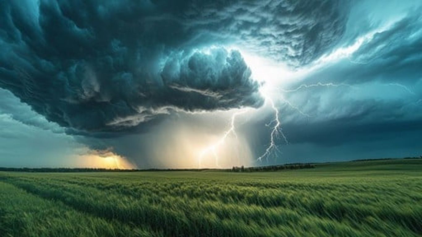
In South Africa, the SA Weather Service forecasts scattered thunderstorms and downpours across central and eastern provinces on 2 February, with severe storm potential, especially over Gauteng, Mpumalanga and parts of Limpopo and Free State. Western and interior regions remain hot and dry with high fire danger.
Cities like Johannesburg can expect patchy rain with temperatures near 31 °C, while southern zones stay warm with periodic showers through the first week of February.
Beyond day‑to‑day weather, the regional seasonal backdrop is worth noting. The United Nations World Food Programme’s outlook highlights a transition into La Niña‑like conditions, linked to normal to above‑normal rainfall for many parts of the region overall this season, but also an ongoing risk of riverine flooding in low‑lying basins. Officials anticipate average to above‑average tropical cyclone activity in the southwest Indian Ocean, and Zimbabwe, Mozambique and nearby coasts remain vulnerable to indirect impacts from such systems later in the rainy season.
Recent climate studies paint a more intense picture: a combination of La Niña and climate change has amplified extreme rainfall events across Southern Africa, causing devastating floods, displacing hundreds of thousands, and overwhelming health and infrastructure systems in late January and early 2026. These conditions underscore how weather extremes are now more pronounced across the region.
What this means for people and communities:
Stay cool and hydrated: With heat building in Zimbabwe and parts of inland SADC, avoid prolonged sun exposure, wear light clothing, and carry water.
Watch local warnings: Isolated thunderstorms can still bring heavy downpours, lightning and localised flooding, especially in South Africa’s highveld and eastern provinces.
Farmers and livestock owners: Prepare for mixed conditions, dry heat can stress crops and animals, while heavier rainfall events later could flood fields.
Travel and safety: Be alert for flash floods or water‑related hazards in low‑lying areas if storms develop.
As February unfolds, Southern Africa’s weather will continue to reflect the real tug‑of‑war between heat‑dominated dry spells and scattered rain events, a reminder of the region’s typical late‑summer mood and the growing influence of broader climate patterns.
Leave a Reply